Amsterdam
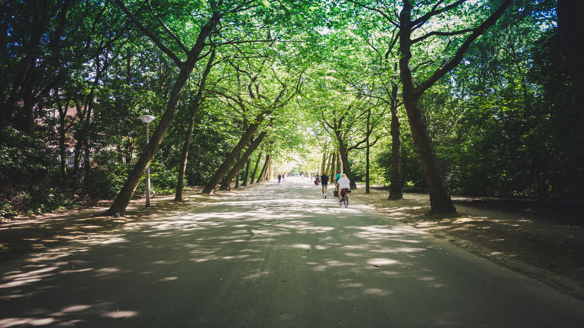
Rembrandt Park
A VUA led study to acquire crowdsourced public perceptions of urban green space quality using a mobile application. This dataset from 2018 includes responses and photographs collected by 129 unique volunteers providing 377 observations in select locations across Rembrandt Park.
Toulouse
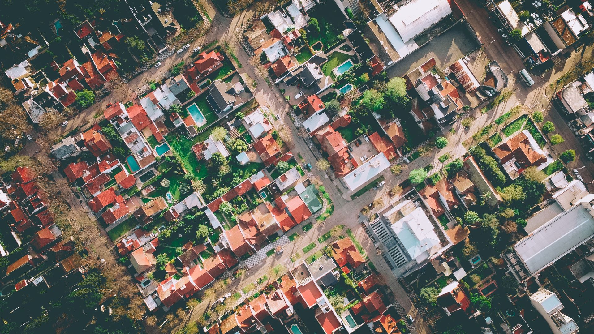
Land Use Land Cover Dynamics
The French National Mapping Agency led several community sourcing mapping campaigns to update authoritative LULC data in Toulouse and surrounding areas. Three datasets, collected in 2018 and 2019, focus on change detection validation, land use classification and in-situ validation are available.

Vienna
City Oases
In March 2019, the Austrian Environment Agency launched a civic engagement campaign to acquire public perceptions of the urban environment of Vienna. The City Oases campaign attracted 50 volunteers contributing 788 observations and 1846 photographs. This initiative is in collaboration with the City of Vienna, the Vienna Institute of Technology and the University of Natural Resources and Life Sciences.
Vojvodina, Serbia
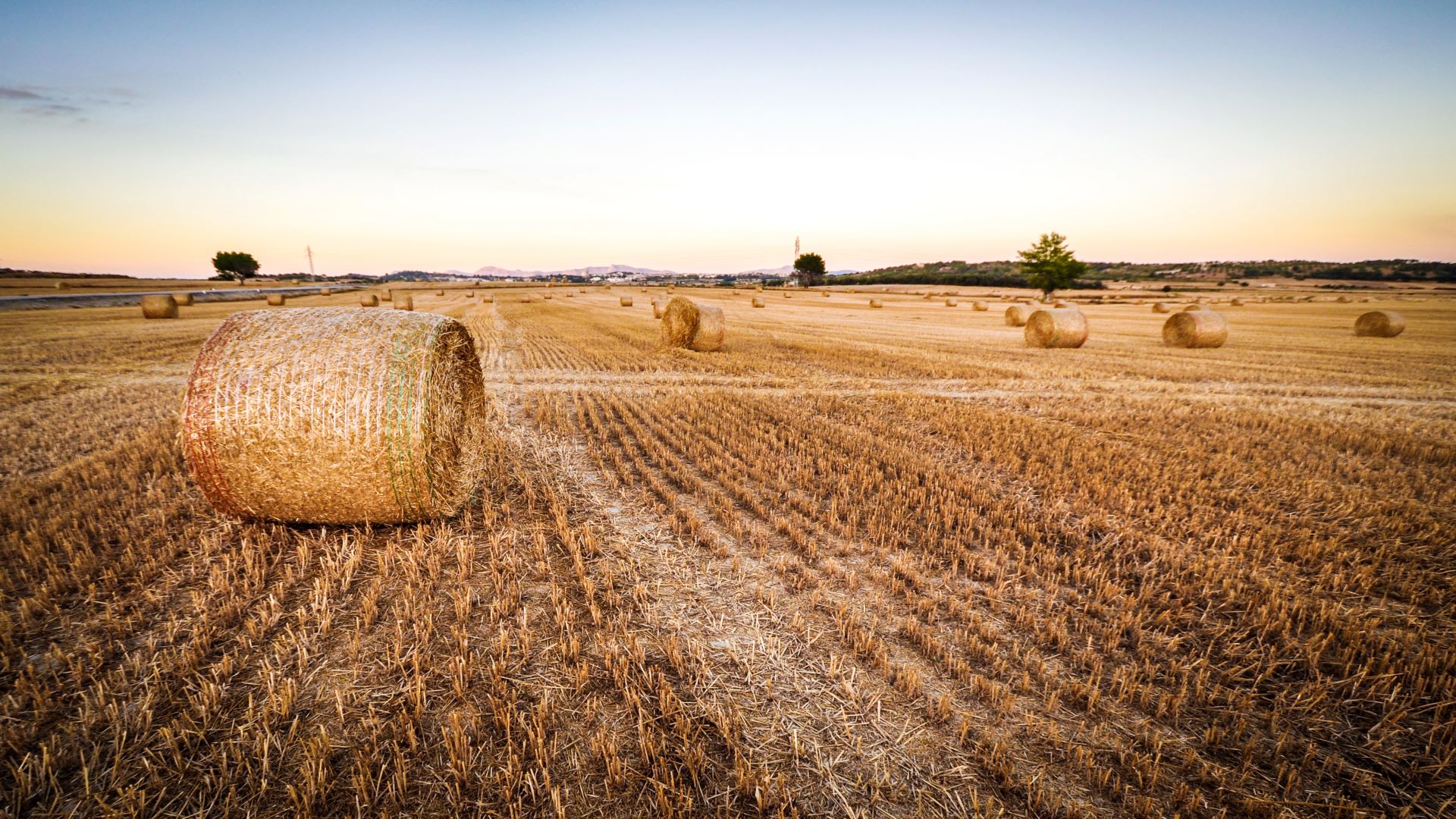
Agricultural Land Use
This dataset, collected in September 2018, contains street-level photographs captured by three cameras fixed on the roof of car. A field survey was focused in the Vojvodina, Serbia to more closely examine land cover/land use within croplands monitored by LandSense citizen scientists. Led by the Joint Research Centre and InoSens, this dataset contains 26759 photographs and associated metadata.
Global Land Use
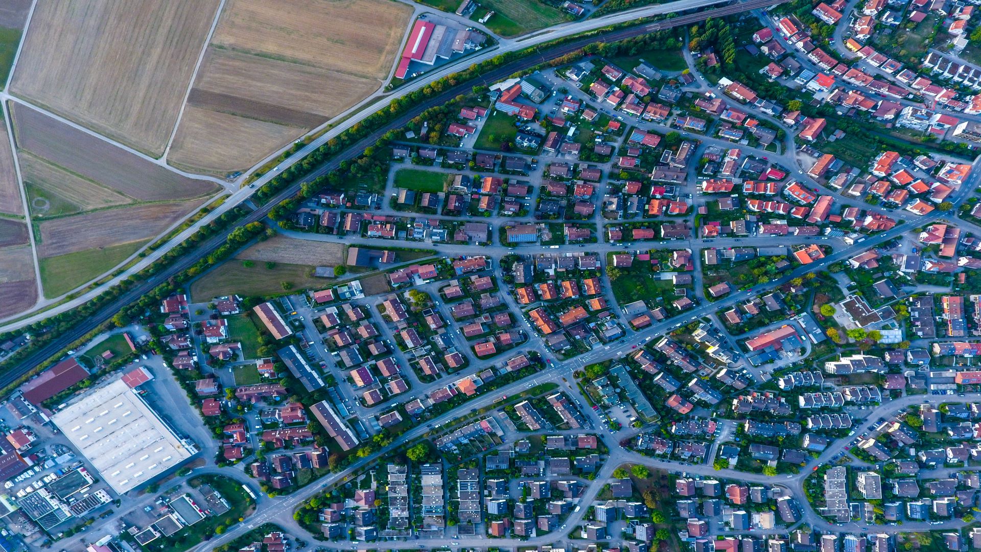
Land Cover Reference Data
These global datasets, collected via the Geo-Wiki crowdsourcing platform, provide information on human impact, land cover disagreement, wilderness and land cover and land use. This IIASA-led campaign from 2012 contains approximately 151,000 records. In addition to LandSense this work was supported by the ERC-funded CrowdLand (GA no. 617754), ConnectinGEO (GA no. 641538) and EuroGEOSS (GA no. 226487).
Global Field
Size Distribution
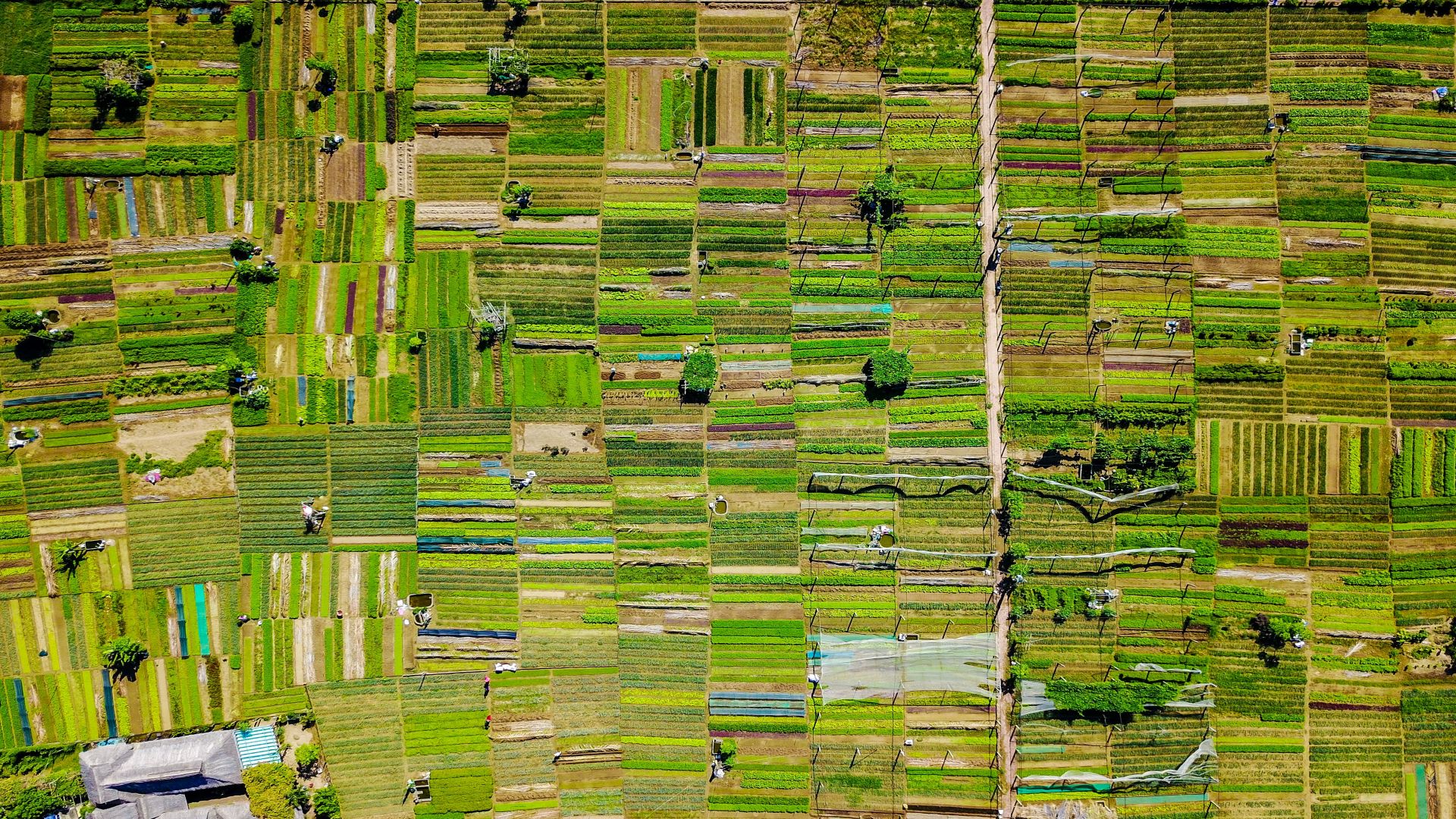
In 2017, volunteers visually interpreted very high resolution satellite imagery from Google Maps and Microsoft Bing using the Geo-Wiki platform. The dataset contains interpretations of cropland field size for 130,000 unique locations around the globe and is useful for comparative studies of agricultural dynamics across different contexts. This work was supported by SIGMA (GA no. 603719) and the ERC-funded CrowdLand (GA no. 617754).
